An online platform designed to provide accurate vehicle reporting based on driving and maintenance through the use of built-in sensors.
This project took place during the Jaguar Land Rover 48 Hour Developer Challenge held between 22nd – 24th July 2016.
Our brief: Cars are now a part of the Internet of Things like any other connected device. Instead of thinking of them as purely mechanical objects that just get us from A to B, we should think about how they can be a part of our connected lives and the wider ecosystem of technology.
How can we use this Connected Future to have a positive impact on people’s lives inside and outside the car? [Source – jlrdevchallenge.com]
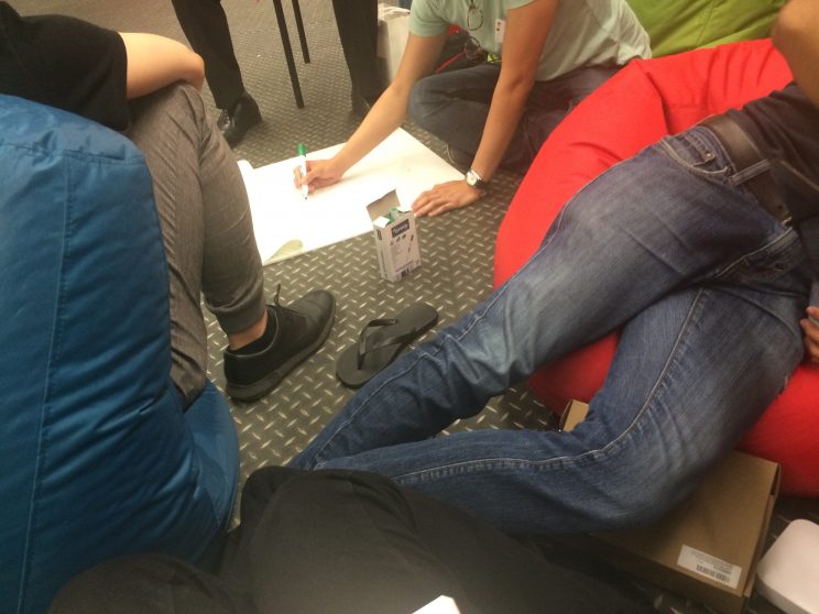
In our team of six (who had never met before) made up of three developers, two business analysts and one designer (myself), we began our idea generation process by brainstorming a range of different ideas onto post-it notes and large sheets of paper.
After shortlisting ideas based on how they best met the brief against time, feasibility and judging criteria, we agreed upon a location-based services application.
The in-car app would show drivers nearby points of interest, if there were events taking place (and how to obtain tickets), and factual information. From a business standpoint we had thought about how the service could be monetised and how Jaguar and Land Rover owners could benefit from potentially subsidised entry to these points of interest.
As users were approaching a point of interest, a notification would pop-up on the infotainment system. If a user chose to engage with the notification they would automatically be rerouted and when exiting their original route would still be saved.
Over a period of time, using machine learning algorithms, the system would learn what points of interest would be relevant to display as opposed to sending notifications for all nearby points of interest and events.
Below is an initial prototype.
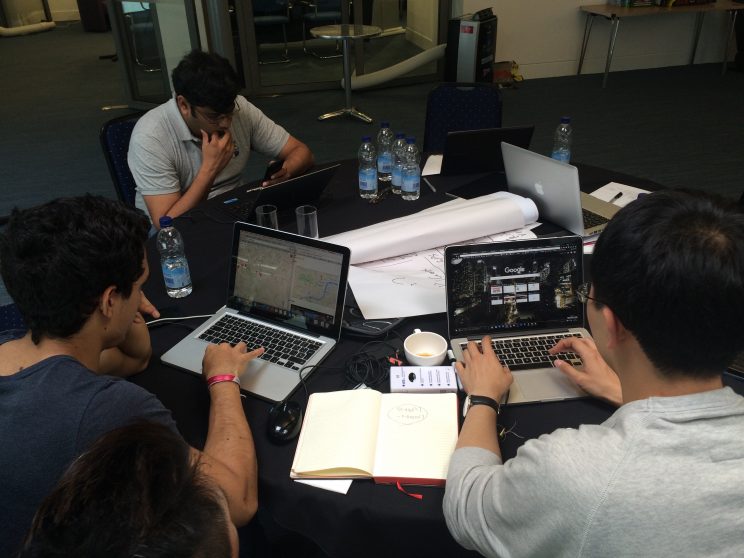
Using Google Maps JavaScript API in conjunction with internal JLR APIs that we had available to us at the event, we were able to produce a working prototype that would show the cars’ location as well as nearby points of interest.
Having spent a considerable amount of time developing this idea, further discussion within the team left us feeling that there would need to be a stronger sense of commercial viability. Speaking to several industry experts including members of staff from JLR, we decided to pivot and start working on another one of our strongest ideas – vehicle reporting.
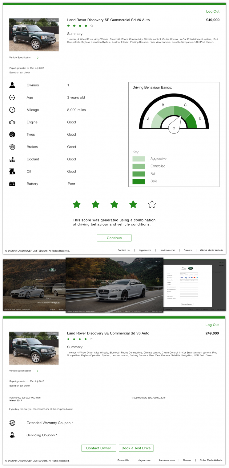
The premise of this idea would be utilising all of the data on connected cars to provide an accurate report of a car’s history rather than relying on people to be accurate with the information that they enter on a website. The unique selling point was that it would be introducing new people to JLR even if it were through the used-car market. This is especially relevant with the rise of autonomous vehicles and growing popularity of ride-sharing services.
Our solution combines the vehicle condition with a driving behaviour band to generate an overall vehicle rating out of five. This allows prospective buyers to make an informed decision about the vehicle they are looking at.
Once a decision has been made, our website allows users to contact the owner directly about any further questions or book a test drive and from there would be able to make a payment.
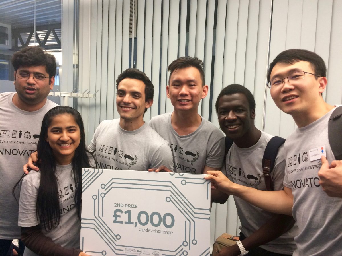
 Whilst choosing to pivot seemed difficult to deal with given the amount of work we had already put in, it turned out to be the correct decision because we ended up finishing in second-place.